
Südbrookmerland
Wappen Südbrookmerland. Quelle: Wikimedia Commons (Lizenz: Public domain; Urheber: unbekannt)
Die Gemeinde Südbrookmerland liegt in Ostfriesland im Nordwesten Niedersachsens zwischen den Städten Aurich und Emden. Sie entstand am 1. Juli 1972 im Rahmen der Gemeindegebietsreform durch den Zusammenschluss von zehn früher selbstständigen Gemeinden, die heute die Ortschaften bilden. Mit 18.373 Einwohnern ist Südbrookmerland die drittgrößte Kommune des Landkreises Aurich und nach Moormerland und Westoverledingen die drittgrößte ländliche Gemeinde Ostfrieslands. Sie ist geprägt von Landwirtschaft und Tourismus mit dem Schwerpunkt am Großen Meer, dem viertgrößten Binnensee Niedersachsens. Südbrookmerland ist insgesamt jedoch eine Auspendler-Gemeinde, vor allem nach Aurich und Emden, dort besonders in das Volkswagenwerk Emden.KI-generierte Zusammenfassung Quelle: Wikipedia (Stand: 17.07.2026), Lizenz CC BY-SA 4.0
- Postleitzahl
- 26624
- Vorwahl
- 04942
Heimat- oder Geschichtspfleger:in für Südbrookmerland?
Trag hier die Geschichte deines Ortes ein — Ereignisse, Persönlichkeiten und mehr. Nach einer kurzen Prüfung durch die Redaktion bekommst du die Pflege dieser Seite.
Heimatpflege übernehmenOrtsteile (20)
Wochenmärkte (1)
Veranstaltungen (6)

Sehenswürdigkeiten (11)
- Anlegestelle an der Paddel- und Pedalstation Großes Meer · Angeln/Fischen
Am Gästehafen , 26624 Südbrookmerland
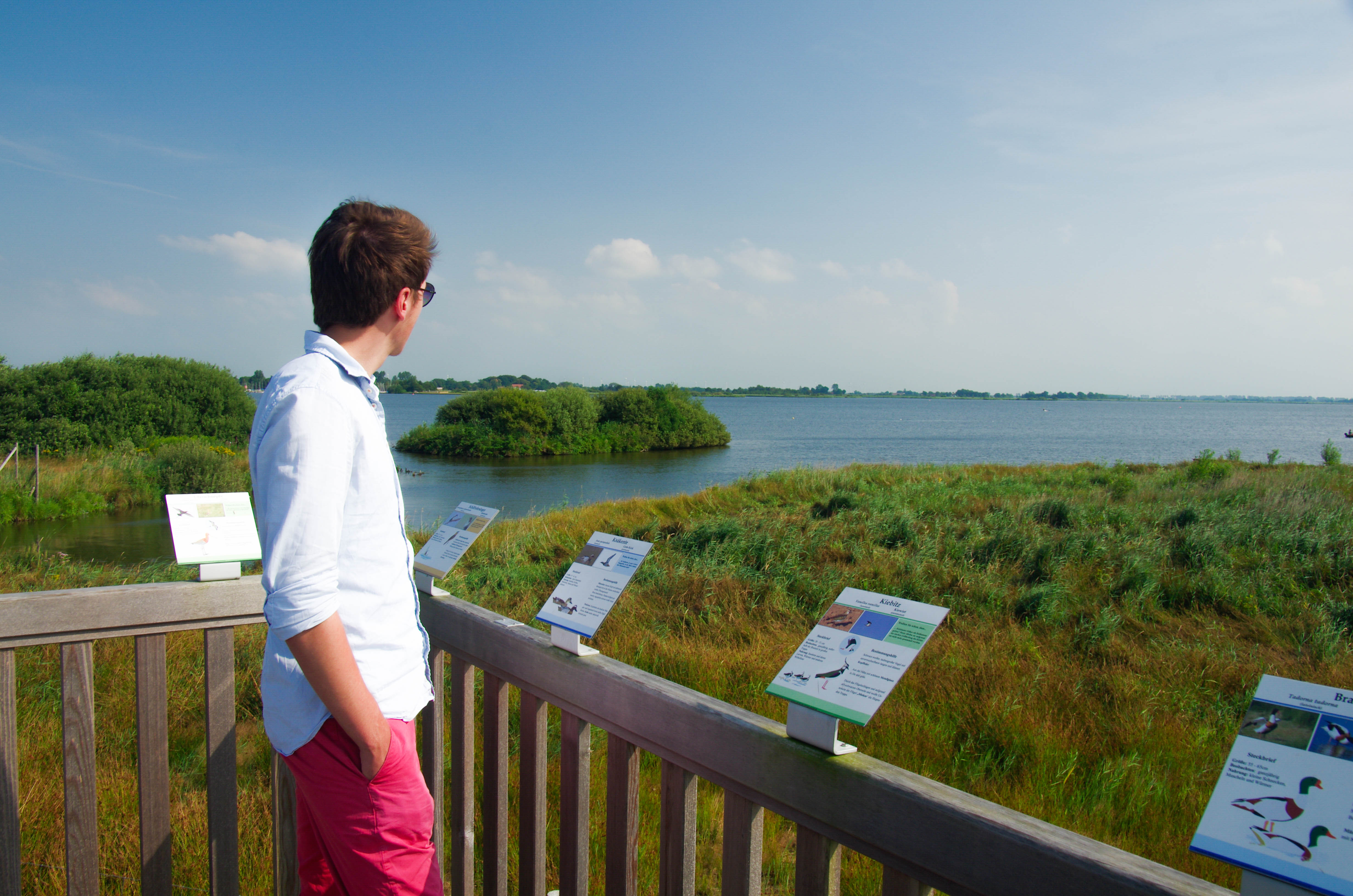
- Aussichtsplattform an der Pünte · Aussichtsplattform
26624 Südbrookmerland
- Badestelle Großes Meer · Strand
Am Gästehafen 1, 26624 Südbrookmerland
- Campingplatz Großes Meer · Parkmöglichkeiten
Am Gästehafen 1, 26624 Südbrookmerland
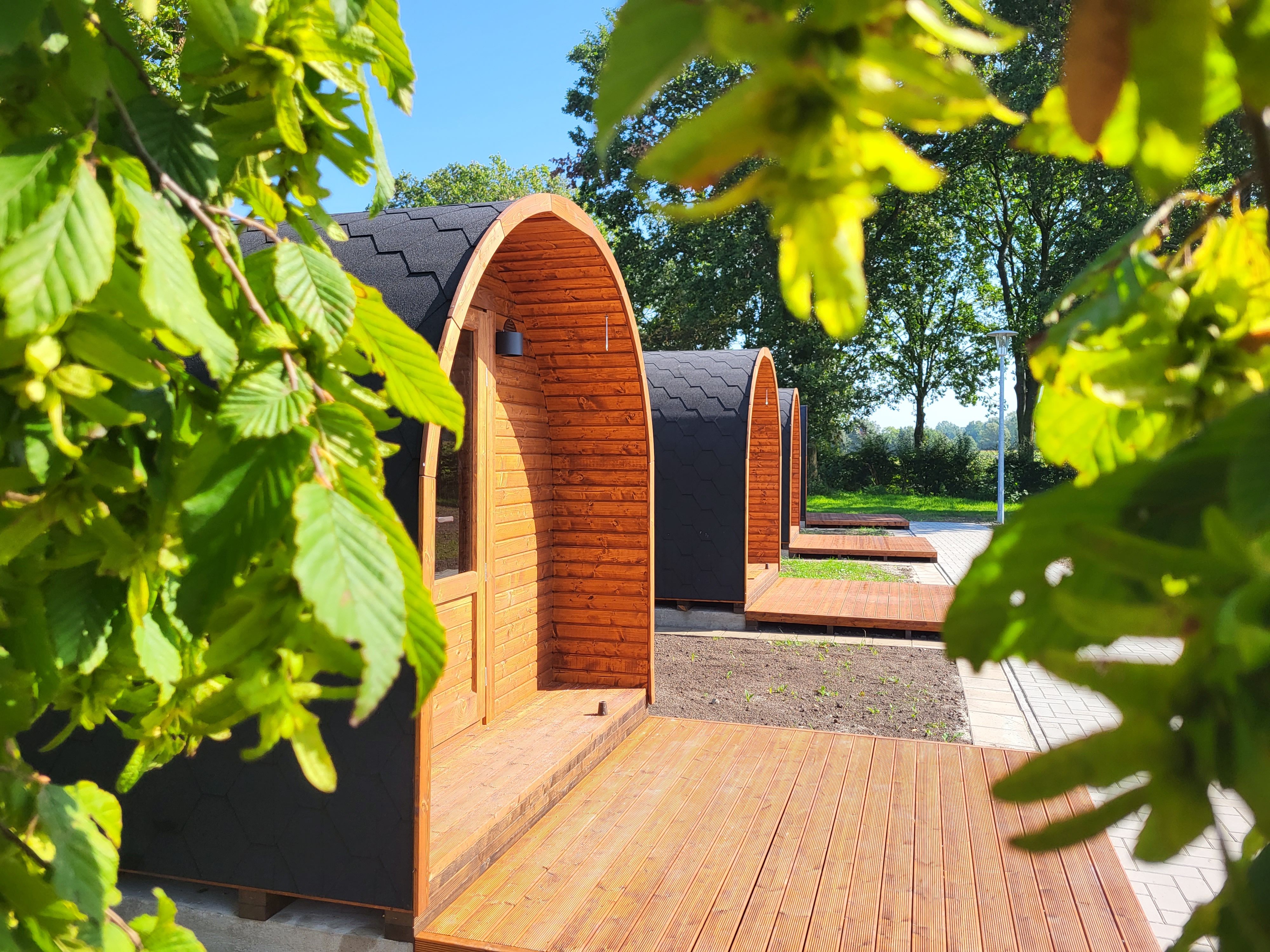
- Campingpods am Großen Meer · Wohnmobilstellplatz
Am Gästehafen 1, 26624 Südbrookmerland
- Großes Meer · Strand
Am Meer, 26624 Südbrookmerland
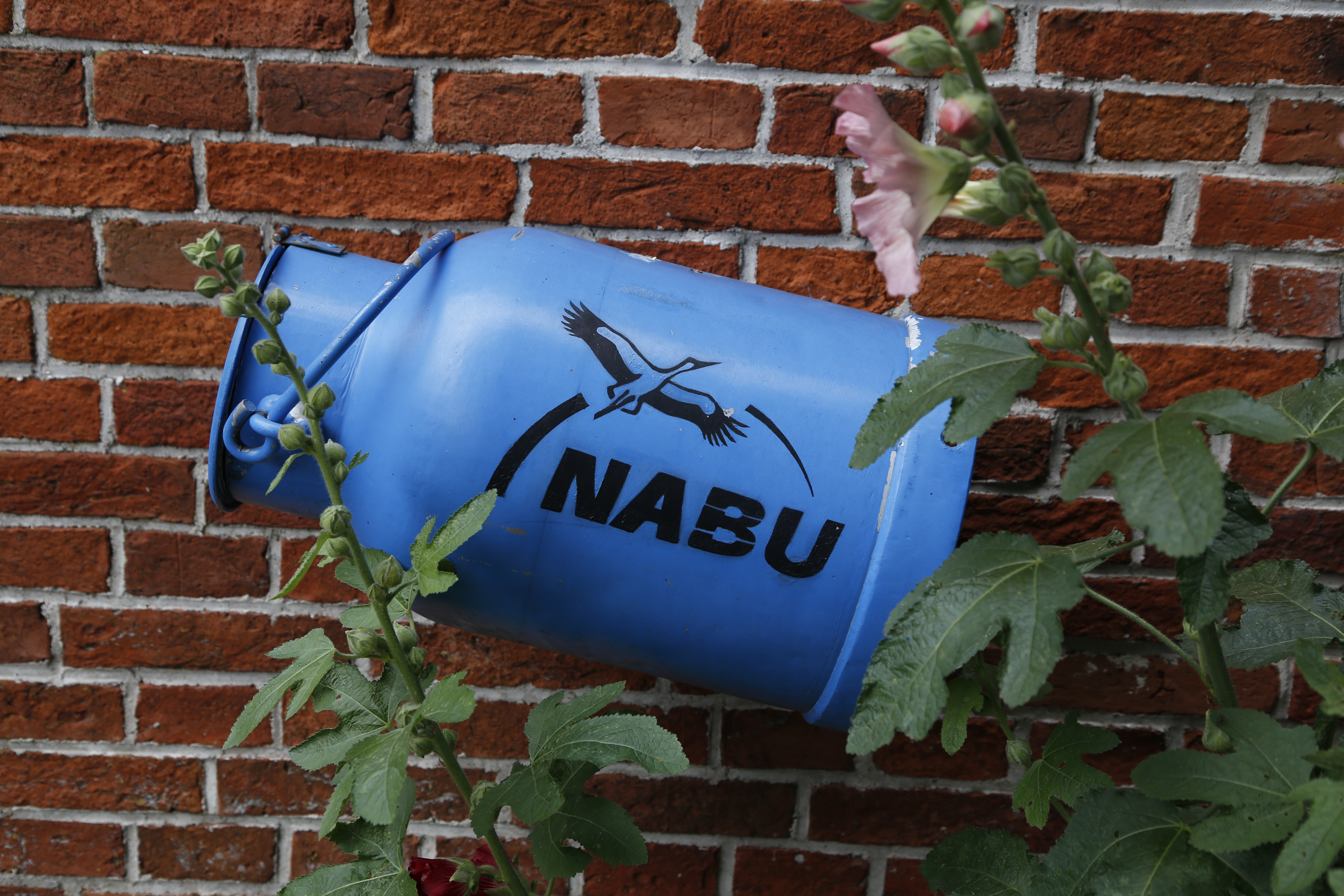
- NABU-Woldenhof · Tier-Freigelände
Forlitzer Straße 121, 26624 Südbrookmerland Wiegboldsbur
- Paddel- und Pedalstation Großes Meer · Paddel und Pedal
Am Gästehafen, 26624 Südbrookmerland
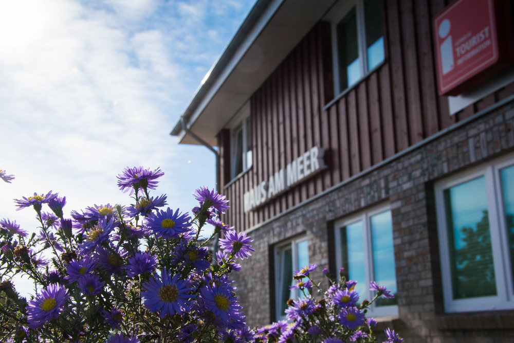
- Südbrookmerland Touristik GmbH · Tourist-Information
Am Gästehafen 1, 26624 Südbrookmerland
- Tourismuszentrum "Großes Meer" · Tourist-Information
Am Gästehafen 1, 26624 Südbrookmerland
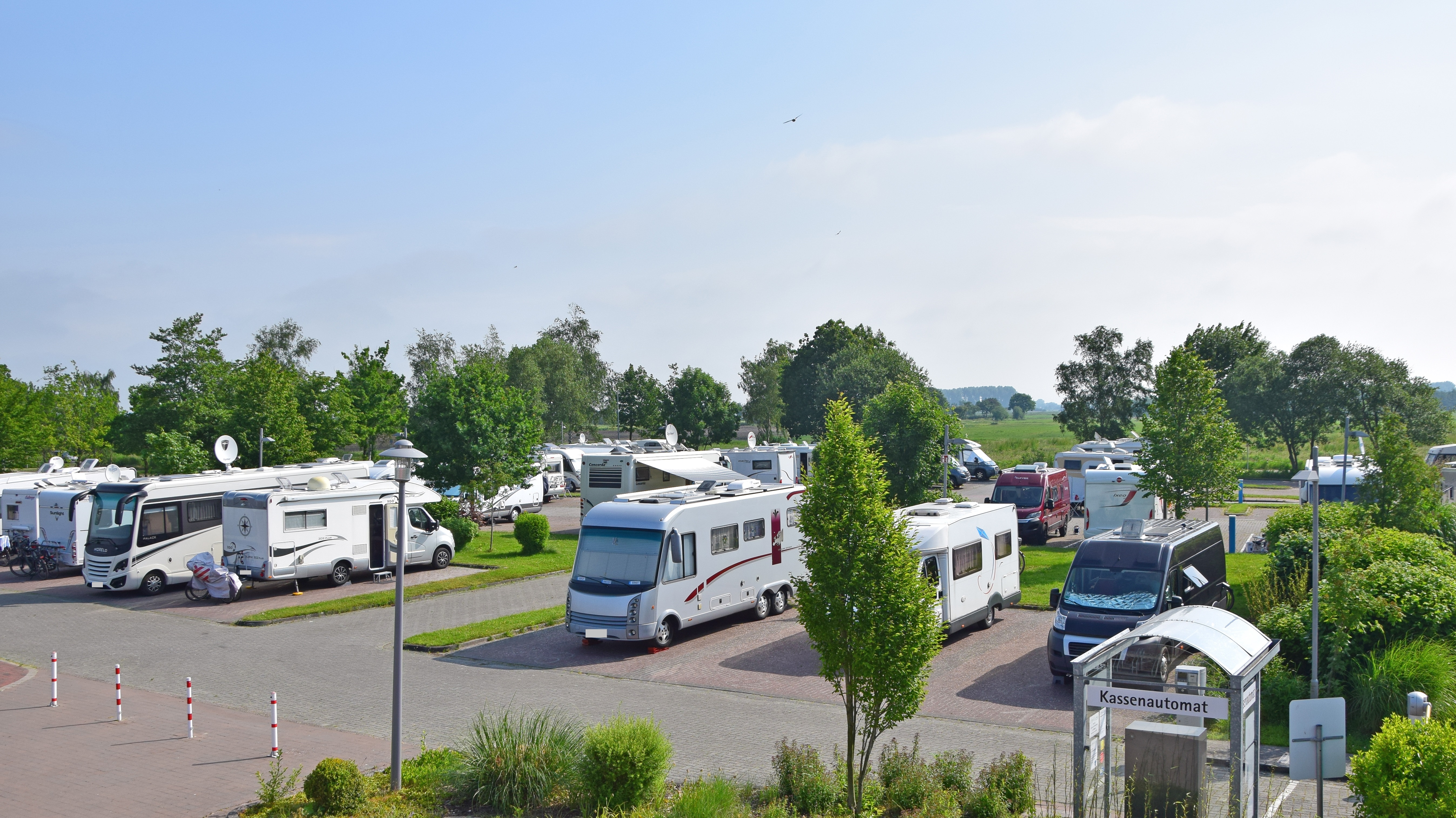
- Wohnmobilhafen Großes Meer · Parkmöglichkeiten
Am Gästehafen 1, 26624 Südbrookmerland


Touren (15)
- Ems-Jade-Weg · Wandern
72.5 km
- Friesenroute Rad up Pad · Biken
289.6 km
E-Auto-Ladestationen (6)
- Niko Linnemann · 11 kW
Amselweg 12, 26624 Südbrookmerland
- Thomas Voß · 11 kW
Schleusenweg 33, 26624 Südbrookmerland
- Vattenfall Smarter Living GmbH · 180 kW
Koppelweg 2, 26624 Südbrookmerland
- Ladepark Eladin GmbH & Co. KG · 2 Ladesäulen, 4 Ladepunkte · bis 240 kW
Auricher Str. 124, 26624 Moordorf
- WATT flink Moordorf · 240 kW
Auricher Str. 124, 26624 Südbrookmerland
Persönlichkeiten
Noch keine erfasst.
Unternehmen vor Ort
Noch keine erfasst.
Alle Betriebe der Region findest du unter Unternehmen. Deiner fehlt? Trag ihn ein — danach kannst du ihn selbst pflegen.
Vereine vor Ort
Noch keine erfasst.
Alle Vereine der Region findest du unter Vereine. Deiner fehlt? Trag ihn ein — danach kannst du ihn selbst pflegen.
Abfallkalender
ÖPNV-Haltestellen (35)
Bushaltestellen (35)
- Abelitz B 210/Abzw. Großes Meer
- Engerhafe B72/Ort
- Finkenburg(Südbrookmerland)
- Georgsheil ZOB
- Hinter Theene Hintertheener Weg
- Moordorf(Südbrookmerland) B72/Extumer Trift
- Moordorf(Südbrookmerland) B72/Ringstraße
- Moordorf(Südbrookmerland) B72/Schultrift
- Moordorf(Südbrookmerland) Handelsring
- Moordorf(Südbrookmerland) K 127/Mittelweg
- Moordorf(Südbrookmerland) K 127/Ringstraße
- Moordorf(Südbrookmerland) Kastanienweg
- Moordorf(Südbrookmerland) Postweg
- Moordorf(Südbrookmerland) Ritzweg
- Münkeboe Alt-Münkeboer-Straße
- Münkeboe Rüskeweg
- Neu-Ekels Grundschule
- Neu-Ekels Herrenhüttener Straße
- Neu-Ekels Voß
- Neu-Wiegboldsbur Bauackersweg
- Neu-Wiegboldsbur Kniepweg
- Neu-Wiegboldsbur Schafhöchter Weg
- Südbrookmerland-Moorhusen Fasanenweg
- Südbrookmerland-Moorhusen Moorhuser Dorfstraße/Thun
- Südbrookmerland-Moorhusen Protthöchte
- Südbrookmerland-Moorhusen Rüskeweg/Mühlenweg
- Südvictorbur B72/Schwarzer Weg
- Südvictorbur Süderstraße
- Theene Köhnemann
- Theene Siebels
- Upende Abzw. Oldeborger Straße
- Uthwerdum B72/Uthwerdumer Straße
- Westvictorbur Grundschule Victorbur
- Wiegboldsbur Grundschule
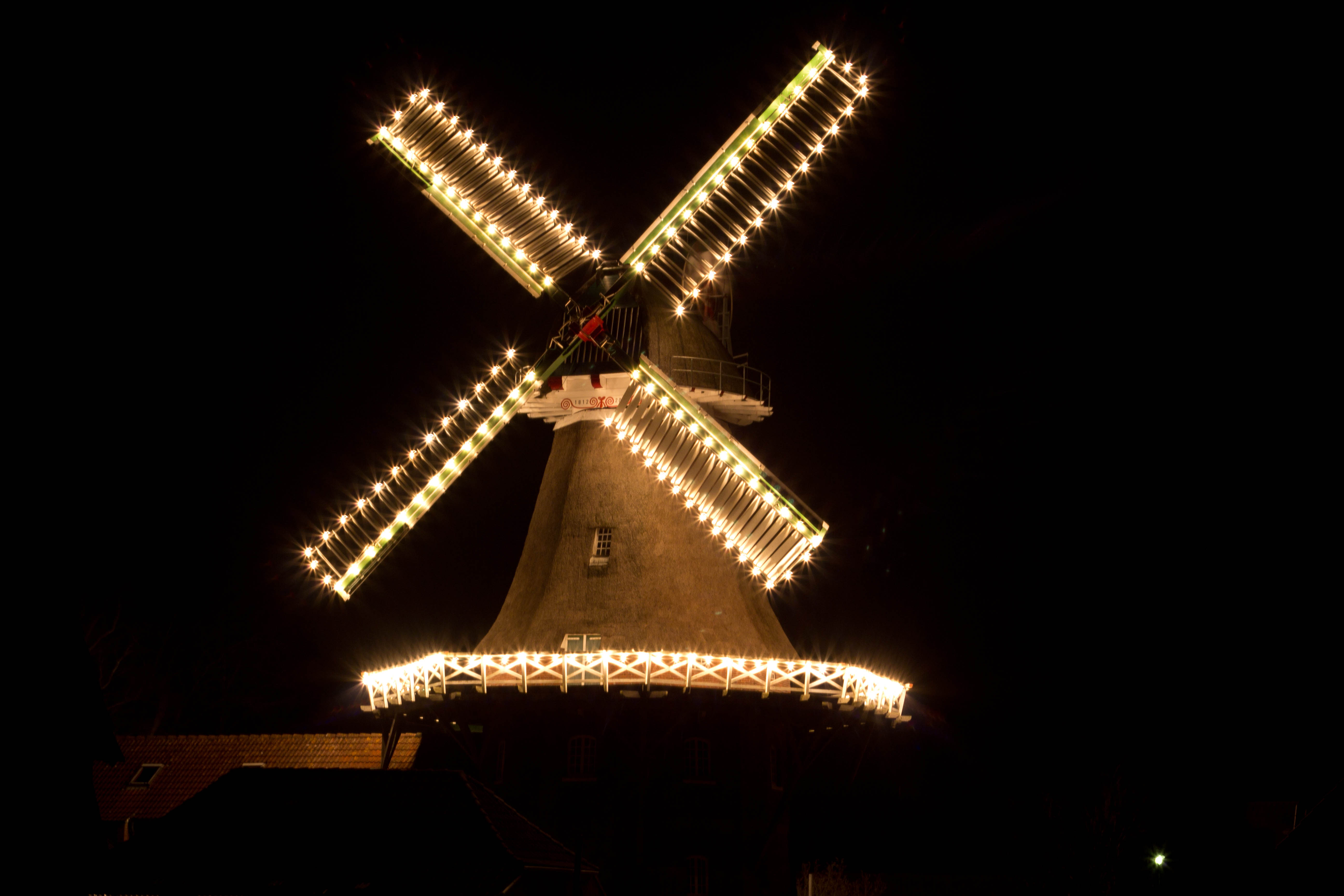
- Wiegboldsbur Mühle
Quelle: GTFS Deutschland (DELFI e.V.)
Baden in der Nähe (1)
- Natursee Grosses Meer · BinnenseeGut (Saison 2024)
Camping in der Nähe (5)
- Campingplatz Südbrookmerland · Campingplatz
- Rezeption · Campingplatz
- Sanitärgebäude · Campingplatz
- Veranstaltungen · Campingplatz
- Wohnmobilhafen am Großen Meer (P2) · Wohnmobilstellplatz
Quelle: OpenStreetMap contributors (ODbL)
Flüsse & Gewässer (137)
- Abelitz · Bach · 15.4 km
- Abelitz-Moordorf-Kanal · Kanal · 17.1 km
- Abelitzschloot · Bach · 12.8 km
- Alte Ehe · Bach · 6.4 km
- Alte Maar · Bach · 7.6 km
- Alter Friedhofsschloot · Bach · 0.5 km
- Alter Schöpfwerksschloot · Bach · 1.6 km
- Alt Münkeboeer Schloot · Bach · 2.8 km
- Amerlander Schöpfwerksschloot · Bach · 1.2 km
- Amselschloot · Bach · 0.5 km
- Babler Diematschloot · Bach · 1.1 km
- Bachstelzenschloot · Bach · 0.7 km
- Bauerslustschloot · Bach · 2.9 km
- Bedekaspeler Marschschloot · Bach · 0.8 km
- Bedekaspeler Schloot · Bach · 1.5 km
- Beererschloot · Bach · 0.8 km
- Brandendschloot · Bach · 0.7 km
- Brannlandschloot · Bach · 0.6 km
- Breike · Bach · 2.9 km
- Bretthunerschloot · Bach · 1.1 km
- Buschplatzschloot · Bach · 0.9 km
- Bussenschloot · Bach · 1.6 km
- Eckiger Kampschloot · Bach · 0.6 km
- Elsterschloot · Bach · 1.1 km
- Ems-Jade-Kanal · Kanal · 74.1 km
- Engerhaferschloot · Bach · 1.3 km
- Fasanenschloot · Bach · 2.4 km
- Fehnhuser Schloot · Bach · 2.5 km
- Ferienhausschloot · Bach · 1.5 km
- Flachsdrögereischloot · Bach · 0.7 km
- Forlitzerschloot · Bach · 1.2 km
- Fraukehammschloot · Bach · 2.8 km
- Gasteschloot · Bach · 1.3 km
- Georgsheiler Zugschloot · Bach · 1.9 km
- Grashausschloot · Bach · 6.8 km
- Greedackerschloot · Bach · 4.6 km
- Groen Breike · Bach · 1.1 km
- Groß Heikelanderschloot · Bach · 0.8 km
- Groß Heikelander Schöpfwerksschloot · Bach · 5.1 km
- Groß-Sanderschloot · Bach · 1.4 km
- Groß-Sander Schöpfwerksschloot · Bach · 0.8 km
- Hauptzuggraben Moorhusen-Münkeboe · Bach · 5.1 km
- Heikeschloot · Bach · 0.8 km
- Hellschloot · Bach · 1.3 km
- Helsmuhderschloot · Bach · 1.5 km
- Herrenhüttener Zuggraben · Bach · 7.4 km
- Hillmers Sandschloot · Bach · 0.6 km
- Hinter Theenerschloot · Bach · 1 km
- Hiwkeschloot · Bach · 7.8 km
- Hochlandschloot · Bach · 0.8 km
- Hochlandschloot Süd · Bach · 1 km
- Hoddelke Zuggraben · Bach · 1.7 km
- Hogelüchtschloot · Bach · 2.2 km
- Hörenschloot · Bach · 1 km
- Jappenlandschloot · Bach · 1.1 km
- Jheringslandschloot · Bach · 1.3 km
- Kabbelwarfschloot · Bach · 1.3 km
- Kanalschloot · Kanal · 3.5 km
- Karkfennenschloot · Bach · 1.5 km
- Kiebitzschloot · Bach · 0.9 km
- Kirchenschloot · Bach · 0.6 km
- Klärteichschloot · Bach · 1 km
- Kleine Bultschloot · Bach · 0.9 km
- Klein Heikelander Schloot Nord · Bach · 0.9 km
- Kl Heikelanderschloot · Bach · 1.2 km
- Kl Ringstraßenschloot · Bach · 0.9 km
- Klugkistschloot · Bach · 0.7 km
- Klunnerbültschloot · Bach · 2 km
- Knockster Tief · Bach · 24.5 km
- Kuhlerplatzgraben · Bach · 1.6 km
- Kuhlerplatzzuggraben · Bach · 0.6 km
- Lange Dorfwegschloot · Bach · 0.9 km
- Langereckschloot · Bach · 1.3 km
- Lerchenschloot · Bach · 0.8 km
- Longewehrschloot · Bach · 2.3 km
- Maar · Bach · 6.8 km
- Marienhofschloot · Bach · 1.6 km
- Marscher Tief · Bach · 7.2 km
- Meedekanal · Kanal · 5.3 km
- Moorburger Äckerschloot · Bach · 1.6 km
- Moordorfergraben · Bach · 1.1 km
- Moordorfer Kreisstraßenschloot · Bach · 0.9 km
- Moordorferschloot · Bach · 1.3 km
- Moorschloot · Bach · 2 km
- Moorweggraben · Bach · 0.6 km
- Mudderpott · Bach · 1.1 km
- Mühlenschloot · Bach · 6.2 km
- Müllers Fenneschloot · Bach · 1 km
- Münkeboeer Riede · Bach · 4.1 km
- Neue Maar · Bach · 1 km
- Neuer Helsmuderschloot · Bach · 1 km
- Nordfennenschloot · Bach · 3.1 km
- Oldeborger Äckerschloot · Bach · 2.2 km
- Oldeborger Gasteschloot · Bach · 1.5 km
- Osteräckerschloot · Bach · 1.3 km
- Peerfennenschloot · Bach · 2.3 km
- Pferdefennenschloot · Bach · 0.8 km
- Pungerschloot · Bach · 2.8 km
- Rauefünfschloot · Bach · 1 km
- Rebhuhnschloot · Bach · 0.7 km
- Ringkanal · Kanal · 10.4 km
- Ringschloot A-M-K · Bach · 1.4 km
- Sandwaterschloot · Bach · 1.3 km
- Schloot am Ringkanal · Kanal · 1.2 km
- Schöpfwerkskanal · Kanal · 3.8 km
- Schulenschloot · Bach · 0.7 km
- Schwalbenschloot · Bach · 1.2 km
- Schweitief · Bach · 4.2 km
- Siebendiematschloot · Bach · 2.1 km
- Siepkelandschloot · Bach · 1.2 km
- Siersmeerschloot · Bach · 3.3 km
- Sperberschloot · Bach · 1 km
- Strengeschloot Süd · Bach · 0.4 km
- Strengschloot · Bach · 3.1 km
- Stubbenlandschloot · Bach · 1 km
- Süderriede · Bach · 3 km
- Theener Neulandschloot · Bach · 3 km
- Theenerschloot · Bach · 1.8 km
- Thunschloot · Bach · 0.5 km
- Tüdderlandschloot · Bach · 1.4 km
- Uiterdykerelfschloot · Bach · 1.2 km
- Uiterdykersiebenschloot · Bach · 0.7 km
- Upender Zuggraben · Bach · 2.4 km
- Uthwerdumer Äckerschloot · Bach · 1.1 km
- Uthwerdumer Meedenschloot · Bach · 0.5 km
- Uthwerdumer Vorfluter · Bach · 3.6 km
- Victorburer Vorfluter · Bach · 2.8 km
- Vorfluter A am Königskeil · Bach · 2.6 km
- Wasserwerkschloot · Bach · 1.6 km
- Waterkampschloot · Bach · 1.8 km
- Weizenkampschloot · Bach · 1.2 km
- Werringerschloot · Bach · 0.7 km
- Westerender Ehe · Bach · 17.3 km
- West Victorburerschloot · Bach · 0.8 km
- Wiegboldsburer Riede · Bach · 7.6 km
- Wiegboldsburer Vorfluter · Bach · 3.2 km
- Zuggraben Moorweg · Bach · 1.3 km
Quelle: NLWKN-Umweltkartenserver
Statistiken zu Südbrookmerland
Tourismus und Beherbergung
59.682 Übernachtungen — Stand 2024, gegenüber 44.984 Übernachtungen im Jahr 2018.
23.469 Gästeankünfte (2024)
8 geöffnete Beherbergungsbetriebe mit 799 Schlafgelegenheiten (2024)
Quelle: GENESIS-Online (Regionaldatenbank Deutschland), Tabelle 45412-01-03-5, Monatserhebung im Tourismus, Jahressumme. Gemeinden ohne (oder mit sehr wenigen) Beherbergungsbetrieben sind aus Datenschutzgründen nicht enthalten.
Breitband- und Glasfaserausbau
60 % der Haushalte mit Glasfaseranschluss (FTTB/H) für mindestens 1.000 Mbit/s
60,7 % Gigabitversorgung insgesamt (alle Technologien, inkl. Kabelnetz)
Quelle: Breitbandatlas der Bundesnetzagentur (Gigabitgrundbuch), Datenstand 12.2025. Nur der aktuelle Stand verfügbar, noch kein Verlauf über mehrere Jahre.
Photovoltaik-Ausbau
1.805 Photovoltaikanlagen mit insgesamt 19,8 MW installierter Leistung
1,08 kW je Einwohner installiert
+1,8 MW Zubau in den letzten 12 Monaten
Quelle: solarzubau.de auf Basis Marktstammdatenregister (Bundesnetzagentur), Datenstand 2026-08-11, CC-BY 4.0. Nur Gemeinden mit mindestens 50 Anlagen im Quelldatensatz enthalten; nur der aktuelle Stand verfügbar, noch kein Verlauf über mehrere Jahre.
Wind-, Biomasse- und Wasserkraftanlagen
3 Windenergie-Anlagen in Betrieb mit 1 MW installierter Leistung
7 Biomasse-Anlagen in Betrieb mit 1,9 MW installierter Leistung
Quelle: open-MaStR (Reiner-Lemoine-Institut) auf Basis Marktstammdatenregister (Bundesnetzagentur), Datenstand 2025-02-09, DL-DE-BY-2.0. Nur der aktuelle Stand verfügbar, noch kein Verlauf über mehrere Jahre.
Bevölkerungsentwicklung
18.373 Einwohner — Stand 2025, gegenüber 18.573 Einwohner im Jahr 2015.
unter 18 Jahre
3.216 Einwohner — Stand 2025, gegenüber 3.561 Einwohner im Jahr 2015.
18 bis unter 65 Jahre
11.253 Einwohner — Stand 2025, gegenüber 11.770 Einwohner im Jahr 2015.
65 Jahre und älter
3.904 Einwohner — Stand 2025, gegenüber 3.242 Einwohner im Jahr 2015.
Quelle: GENESIS-Online (Regionaldatenbank Deutschland), Tabelle 12411-01-01-5 / 12411-02-03-5, Fortschreibung des Bevölkerungsstandes, Stand 31.12. je Jahr. Altersgruppen aus 17 GENESIS-Gruppen zu drei Buckets zusammengefasst.
Geburten und Sterbefälle
Geburten
177 Geburten — Stand 2024, gegenüber 159 Geburten im Jahr 2015.
Sterbefälle
241 Sterbefälle — Stand 2024, gegenüber 201 Sterbefälle im Jahr 2015.
Quelle: GENESIS-Online (Regionaldatenbank Deutschland), Tabelle 12612-01-01-5 (Statistik der Geburten) / 12613-01-01-5 (Statistik der Sterbefälle), Jahressumme.
Durchschnittsalter
44,3 Jahre — Stand 2025, gegenüber 41,9 Jahre im Jahr 2015.
Quelle: GENESIS-Online (Regionaldatenbank Deutschland), Tabelle 12411-07-01-5, Stand 31.12. je Jahr.
Ausländeranteil
3,5 % — Stand 2025, gegenüber 2,8 % im Jahr 2018.
Quelle: GENESIS-Online (Regionaldatenbank Deutschland), Tabelle 12411-11-01-5, Stand 31.12. je Jahr.
Neubau: Fertiggestellte Wohnungen
37 Wohnungen — Stand 2024, gegenüber 49 Wohnungen im Jahr 2015.
Wohnungsbestand
9.006 Wohnungen — Stand 2024, gegenüber 8.118 Wohnungen im Jahr 2015.
Neubauquote
0,4 % — Stand 2024, gegenüber 0,7 % im Jahr 2016.
Quelle: GENESIS-Online (Regionaldatenbank Deutschland), Tabelle 31121-01-02-5 (Baufertigstellungen, Jahressumme) / 31231-02-01-5 (Wohnungsbestand, Stand 31.12.). Neubauquote = fertiggestellte Wohnungen im Verhältnis zum Wohnungsbestand des Vorjahres.
Bodenrichtwerte
40 €/m² Median Wohnbauland (Spanne 28–100 €/m², 40 Zonen)
10 €/m²300 €/m²
Quelle: BORIS-NI (Landesamt für Geoinformation und Landesvermessung Niedersachsen), Gutachterausschüsse für Grundstückswerte. Zonenfarbe relativ zur Preisspanne innerhalb dieser Gemeinde, nicht landesweit vergleichbar. Land-/Forstwirtschaft und Grünflächen (grau) sind wertmäßig nicht mit Bauland vergleichbar und daher separat dargestellt. Kartenausschnitt auf die Bauland-Zonen zugeschnitten, weit entfernte sonstige Flächen können daher am Rand abgeschnitten sein.
Gewerbesteuer und kommunale Finanzkraft
Gewerbesteuer-Hebesatz
360 % — Stand 2024, gegenüber 360 % im Jahr 2016.
Gewerbesteuer netto
3.263.081 € — Stand 2024, gegenüber 2.115.280 € im Jahr 2016.
Steuereinnahmekraft
15.281.397 € — Stand 2024, gegenüber 10.452.005 € im Jahr 2016.
Quelle: GENESIS-Online (Regionaldatenbank Deutschland), Tabelle 71231-01-03-5, Realsteuervergleich, Jahressumme.
Trinkwasserpreis
Verbrauchsabhängiges Entgelt
1,4 €/m³ — Stand 2024, gegenüber 0,9 €/m³ im Jahr 2015.
Verbrauchsunabhängige Grundgebühr
91,6 €/Jahr — Stand 2024, gegenüber 47,9 €/Jahr im Jahr 2015.
Quelle: GENESIS-Online (Regionaldatenbank Deutschland), Tabelle 32271-01-01-5, Erhebung der Wasser- und Abwasserentgelte, Stichtag 01.01. je Jahr.
Wahlergebnisse
Wahl des/der Bürgermeisters/in (12.09.2021)
- Wienekamp, SPD1.258 Stimmen · 13,4 %
- Erdwiens, FWG3.326 Stimmen · 35,5 %
- Hildebrandt, CDU391 Stimmen · 4,2 %
- Awada, GRÜNE266 Stimmen · 2,8 %
- Hiller, Einzelbewerber2.811 Stimmen · 30 %
- Redenius, Einzelbewerber154 Stimmen · 1,6 %
- Schoon, Einzelbewerber517 Stimmen · 5,5 %
- Wegener, Einzelbewerber660 Stimmen · 7 %
Wahlbeteiligung: 62 % (vorherige Wahl 25.05.2014: 56 %)
Quelle: votemanager.de — Stand: 22.09.2021 17:15
Kreiswahl (12.09.2021)
- SPD10.728 Stimmen · 40,7 %
- CDU4.833 Stimmen · 18,3 %
- GRÜNE1.864 Stimmen · 7,1 %
- UWG87 Stimmen · 0,3 %
- FDP1.275 Stimmen · 4,8 %
- DIE LINKE.723 Stimmen · 2,7 %
- GFA310 Stimmen · 1,2 %
- BfB218 Stimmen · 0,8 %
- FREIE WÄHLER5.718 Stimmen · 21,7 %
- MOIN595 Stimmen · 2,3 %
Wahlbeteiligung: 61,7 %
Quelle: votemanager.de — Stand: 22.09.2021 17:15
Landratswahl (26.05.2019)
- Harm-Uwe Weber, SPD3.455 Stimmen · 42,8 %
- Bernd Iken, Einzelbewerber901 Stimmen · 11,2 %
- Olaf Meinen, Einzelbewerber3.709 Stimmen · 46 %
Wahlbeteiligung: 53,9 %
Quelle: votemanager.de — Stand: 06.06.2024 14:19
Bundestagswahl (23.02.2025)
- SPD3.655 Stimmen · 29,4 %
- CDU2.298 Stimmen · 18,5 %
- GRÜNE540 Stimmen · 4,4 %
- FDP327 Stimmen · 2,6 %
- AfD3.527 Stimmen · 28,4 %
- Die Linke856 Stimmen · 6,9 %
- Tierschutzpartei210 Stimmen · 1,7 %
- dieBasis28 Stimmen · 0,2 %
- Die PARTEI52 Stimmen · 0,4 %
- FREIE WÄHLER258 Stimmen · 2,1 %
- PIRATEN20 Stimmen · 0,2 %
- Volt38 Stimmen · 0,3 %
- PdH5 Stimmen · 0 %
- MLPD4 Stimmen · 0 %
- BÜNDNIS DEUTSCHLAND16 Stimmen · 0,1 %
- BSW587 Stimmen · 4,7 %
Wahlbeteiligung: 83,4 %
Quelle: votemanager.de — Stand: 27.02.2025 11:04
Wahl zum Deutschen Bundestag (26.09.2021)
- CDU1.475 Stimmen · 13,9 %
- SPD5.097 Stimmen · 47,9 %
- FDP811 Stimmen · 7,6 %
- AfD1.205 Stimmen · 11,3 %
- GRÜNE821 Stimmen · 7,7 %
- DIE LINKE308 Stimmen · 2,9 %
- Die PARTEI74 Stimmen · 0,7 %
- Tierschutzpartei185 Stimmen · 1,7 %
- FREIE WÄHLER502 Stimmen · 4,7 %
- PIRATEN39 Stimmen · 0,4 %
- NPD16 Stimmen · 0,2 %
- V-Partei³3 Stimmen · 0 %
- ÖDP8 Stimmen · 0,1 %
- MLPD2 Stimmen · 0 %
- DKP4 Stimmen · 0 %
- dieBasis60 Stimmen · 0,6 %
- du.9 Stimmen · 0,1 %
- LKR0 Stimmen · 0 %
- Die Humanisten8 Stimmen · 0,1 %
- Team Todenhöfer9 Stimmen · 0,1 %
- Volt8 Stimmen · 0,1 %
Wahlbeteiligung: 72,4 % (vorherige Wahl 24.09.2017: 74 %)
Quelle: votemanager.de — Stand: 30.09.2021 11:01
Landtagswahl (09.10.2022)
- SPD3.348 Stimmen · 40,1 %
- CDU1.335 Stimmen · 16 %
- GRÜNE504 Stimmen · 6 %
- FDP257 Stimmen · 3,1 %
- AfD1.762 Stimmen · 21,1 %
- DIE LINKE.237 Stimmen · 2,8 %
- dieBasis37 Stimmen · 0,4 %
- FREIE WÄHLER540 Stimmen · 6,5 %
- Die Humanisten Niedersachsen14 Stimmen · 0,2 %
- Die PARTEI67 Stimmen · 0,8 %
- Gesundheitsforschung34 Stimmen · 0,4 %
- Tierschutzpartei154 Stimmen · 1,9 %
- PIRATEN48 Stimmen · 0,6 %
- Volt9 Stimmen · 0,1 %
Wahlbeteiligung: 56,7 % (vorherige Wahl 15.10.2017: 59,5 %)
Quelle: votemanager.de — Stand: 13.10.2022 11:43
Europawahl (09.06.2024)
- CDU1.985 Stimmen · 21,4 %
- GRÜNE393 Stimmen · 4,2 %
- SPD2.230 Stimmen · 24,1 %
- AfD2.263 Stimmen · 24,4 %
- FDP321 Stimmen · 3,5 %
- DIE LINKE164 Stimmen · 1,8 %
- Die PARTEI150 Stimmen · 1,6 %
- Tierschutzpartei165 Stimmen · 1,8 %
- PIRATEN48 Stimmen · 0,5 %
- FREIE WÄHLER453 Stimmen · 4,9 %
- FAMILIE85 Stimmen · 0,9 %
- Volt63 Stimmen · 0,7 %
- ÖDP22 Stimmen · 0,2 %
- TIERSCHUTZ hier!82 Stimmen · 0,9 %
- MERA255 Stimmen · 0,1 %
- HEIMAT6 Stimmen · 0,1 %
- PdH13 Stimmen · 0,1 %
- Bündnis C2 Stimmen · 0 %
- Partei für schulmedizinische Verjüngungsforschung4 Stimmen · 0 %
- BIG2 Stimmen · 0 %
- MENSCHLICHE WELT17 Stimmen · 0,2 %
- DKP1 Stimmen · 0 %
- MLPD2 Stimmen · 0 %
- SGP4 Stimmen · 0 %
- ABG9 Stimmen · 0,1 %
- dieBasis13 Stimmen · 0,1 %
- BÜNDNIS DEUTSCHLAND35 Stimmen · 0,4 %
- BSW620 Stimmen · 6,7 %
- DAVA5 Stimmen · 0,1 %
- KLIMALISTE2 Stimmen · 0 %
- LETZTE GENERATION17 Stimmen · 0,2 %
- PDV8 Stimmen · 0,1 %
- PdF51 Stimmen · 0,6 %
- V-Partei³22 Stimmen · 0,2 %
Wahlbeteiligung: 61,1 % (vorherige Wahl 26.05.2019: 55 %)
Quelle: votemanager.de — Stand: 10.06.2024 13:15
Gemeindewahl (12.09.2021)
- SPD8.702 Stimmen · 32,2 %
- CDU3.746 Stimmen · 13,9 %
- GRÜNE1.331 Stimmen · 4,9 %
- FDP749 Stimmen · 2,8 %
- DIE LINKE.487 Stimmen · 1,8 %
- dieBasis LV Niedersachsen213 Stimmen · 0,8 %
- FWG9.709 Stimmen · 35,9 %
- SBL1.775 Stimmen · 6,6 %
- Matthias Redenius, Einzelbewerber Redenius309 Stimmen · 1,1 %
Wahlbeteiligung: 62 %
Quelle: votemanager.de — Stand: 22.09.2021 17:15
Stichwahl des/der Bürgermeisters/in (12.09.2021)
- Erdwiens, FWG5.431 Stimmen · 51,8 %
- Hiller, Einzelbewerber5.056 Stimmen · 48,2 %
Wahlbeteiligung: 69,1 %
Quelle: votemanager.de — Stand: 27.09.2021 12:28
Quelle: votemanager.de — Herausgeber der Wahlergebnisse sind die jeweils genannten Wahlämter. Nur aktueller Stand + eine Wahl zurück je Wahltyp; bei Verhältniswahlen (Stadtrat/Kreistag) nur die Parteisumme, keine Einzelkandidaten-Stimmen (Kumulieren/Panaschieren).
Statistiken zum Landkreis Aurich, Landkreis
E-Mobilität
6 % der Pkw mit Elektroantrieb (BEV/Plug-in-Hybrid) — Stand Q3/26, gegenüber 2,9 % zu Beginn Q1/23.
121.071 Personenkraftwagen insgesamt (2024), zum Vergleich.
Quelle: Kraftfahrt-Bundesamt, quartalsweise seit 2023. Pkw-Bestand: GENESIS-Online, Tabelle 46251-02-01-4, Stichtag 01.01.
Arbeitslosenquote
6,5 % — Stand 2025, gegenüber 8,9 % im Jahr 2009.
Quelle: GENESIS-Online (Regionaldatenbank Deutschland), Tabelle 13211-02-05-4, Arbeitsmarktstatistik der Bundesagentur für Arbeit, Jahresdurchschnitt. Bezogen auf alle zivilen Erwerbspersonen.
Hausärztedichte
6,3 je 10.000 EW — Stand 2022, gegenüber 6,2 je 10.000 EW im Jahr 2015.
Quelle: INKAR (Laufende Raumbeobachtung des BBSR); Kassenärztliche Bundesvereinigung.
Krankenhausbetten
548 Betten — Stand 2024, gegenüber 682 Betten im Jahr 2018.
Quelle: GENESIS-Online (Regionaldatenbank Deutschland), Tabelle 23111-01-05-4, Krankenhausstatistik, Stichtag 31.12., Jahresdurchschnitt.
Kinderbetreuung
Betreuungsquote Kinder unter 3 Jahre
31,1 % — Stand 2025, gegenüber 22,2 % im Jahr 2017.
Betreuungsquote Kinder 3 bis unter 6 Jahre
96,4 % — Stand 2025, gegenüber 92,8 % im Jahr 2017.
Quelle: GENESIS-Online (Regionaldatenbank Deutschland), Tabelle 22543-04-01-4, Statistik der Kindertagesbetreuung, Stichtag 1.3. je Jahr.
Schülerinnen und Schüler
19.754 Schüler:innen — Stand 2024, gegenüber 20.329 Schüler:innen im Jahr 2017.
Quelle: GENESIS-Online (Regionaldatenbank Deutschland), Tabelle 21111-01-03-4, Statistik der allgemeinbildenden Schulen, Stichtag Schuljahresbeginn.
Grundstückspreise
Kaufwert Bauland insgesamt
51,5 €/m² — Stand 2025, gegenüber 89,7 €/m² im Jahr 2021.
Kaufwert baureifes Land
111 €/m² — Stand 2025, gegenüber 102,4 €/m² im Jahr 2021.
Quelle: GENESIS-Online (Regionaldatenbank Deutschland), Tabelle 61511-01-03-4, Statistik der Kaufwerte für Bauland, Jahressumme. Statistik seit Berichtsjahr 2021 neu konzipiert, ältere Werte nicht direkt vergleichbar.
Energieverbrauch
261 GWh — Stand 2023, gegenüber 254,5 GWh im Jahr 2013.
Quelle: GENESIS-Online (Regionaldatenbank Deutschland), Tabelle 43531-01-02-4, Jahreserhebung über die Energieverwendung der Betriebe im Verarbeitenden Gewerbe. Aus Tsd. MJ in GWh umgerechnet.
Landwirtschaft
Rinderbestand
105.891 Tiere — Stand 2024, gegenüber 127.630 Tiere im Jahr 2015.
Betriebe mit ökologischem Landbau
50 Betriebe — Stand 2020, gegenüber 37 Betriebe im Jahr 2010.
Ökologisch bewirtschaftete Fläche
3.323 ha — Stand 2020, gegenüber 1.917 ha im Jahr 2010.
Quelle: GENESIS-Online (Regionaldatenbank Deutschland), Tabelle 41312-01-01-4 (Erhebung über die Rinderbestände) / 41141-04-02-4 (Agrarstrukturerhebung / Landwirtschaftszählung, nur Erhebungsjahre 2010/2016/2020).